


7.6 km | 12.2 km-effort


Tous les sentiers balisés d’Europe GUIDE+


FREE GPS app for hiking
 SityTrail
IGN / Geographical institutes
SityTrail World
The world is yours!
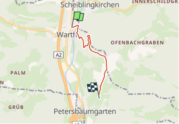
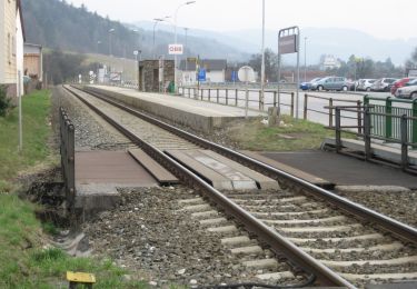
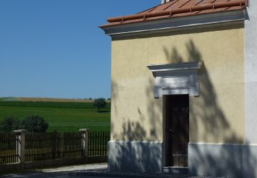
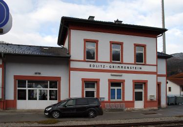
Trail On foot of 3.4 km to be discovered at Lower Austria, Bezirk Neunkirchen, Gemeinde Warth. This trail is proposed by SityTrail - itinéraires balisés pédestres.
Trail created by DEV Kirchau.
Symbol: grüner Punkt auf weißem Grund
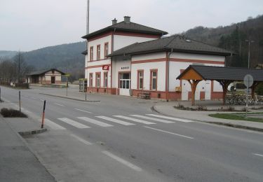
 - Photo 1")
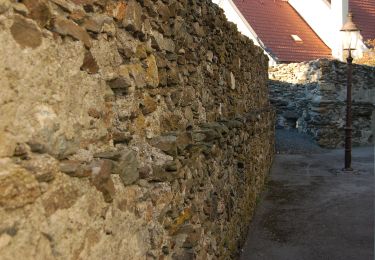
 - Photo 2")
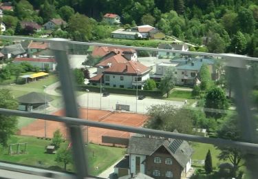
 - Photo 3")
 - Photo 4")
On foot
On foot

On foot

On foot
On foot
On foot
On foot
On foot
On foot